La Palma, the “Isla Bonita”, is a miniature continent: volcanic beaches, laurel forests, active volcanoes, and clear skies where the stars feel within reach. Its geography is a constant journey between contrasts, making it a truly unique destination in the Atlantic.
Key Facts About La Palma
- Surface area: 708 km²
- Population: ~83,000 inhabitants
- Highest peak: Roque de los Muchachos, 2,426 m
- Geological age: ~2 million years (one of the youngest islands of the archipelago)
- Distinction: UNESCO Biosphere Reserve since 2002
A Volcanic Land in Motion
- La Palma was formed by an underwater volcano.
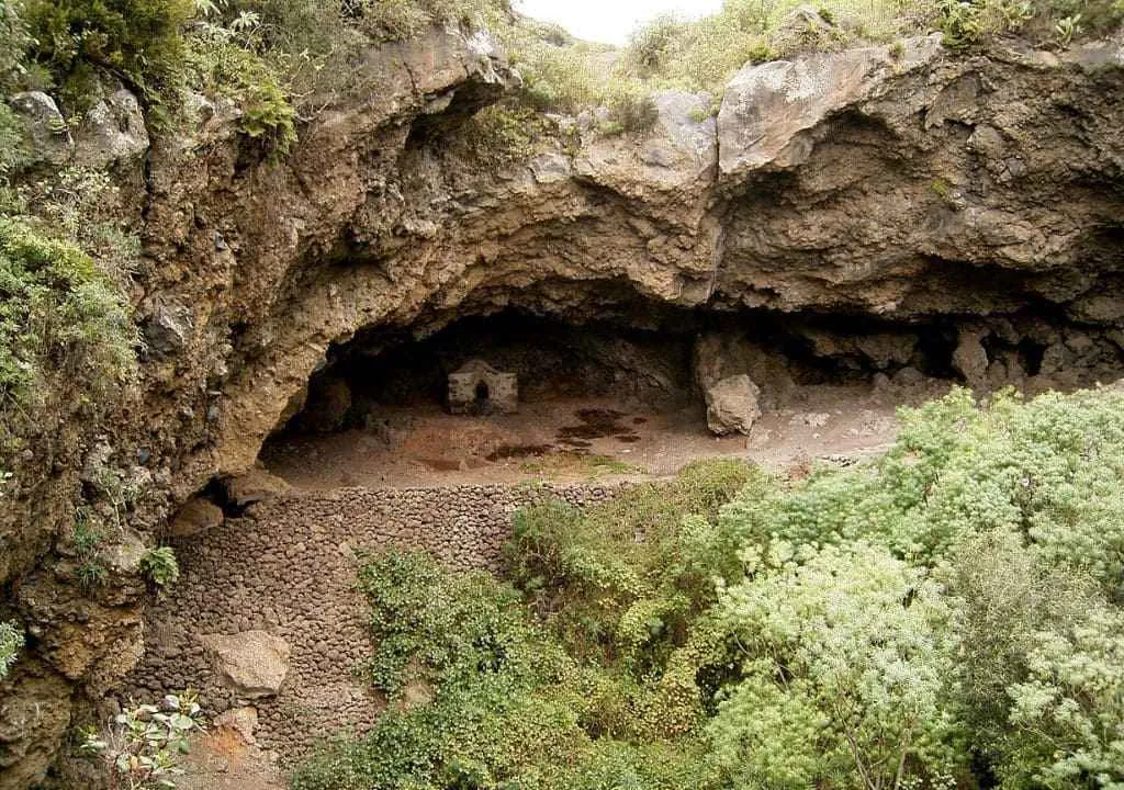
- At its heart lies the Caldera de Taburiente, a 9 km-wide, 1,500 m-deep crater.
- The south is the most active area: the Cumbre Vieja ridge, where most recent eruptions occurred, including the 2021 Tajogaite eruption.
Microclimates and Unique Landscapes
- North: green, humid, with laurel forests, heathlands, and deep ravines.
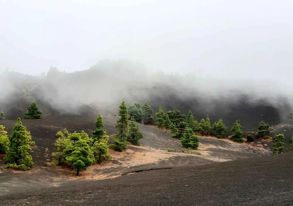
- South: volcanic scenery, black lava soils, and pine forests.
- West: drier and sunnier, perfect for bananas and vineyards.
- East: cooler and more balanced, ideal for seaside walks among Canary palms.
Thanks to the trade winds and the phenomenon of horizontal rain, forests capture moisture even in summer. The Canary pine and laurel forests are key players in this natural wonder.
La Palma: UNESCO Biosphere Reserve
- 1983: Los Tilos declared a Biosphere Reserve.
- 2002: The entire island received this distinction.
Today, La Palma is a global example of conservation and biodiversity, where endemic species, traditional farming, and pristine landscapes coexist.
Stargazing Tourism: A Sky Protected by Law
- The Roque de los Muchachos hosts one of the world’s leading astrophysical observatories.
- Clouds at 1,000–2,000 meters act as a natural barrier against light pollution.
- Since 1988, La Palma has had a pioneering European law protecting its skies from artificial lights, radio frequencies, and air traffic.
- Many municipalities use adapted street lighting (orange light directed downward).
Result: La Palma is one of the best places on Earth to observe the stars.
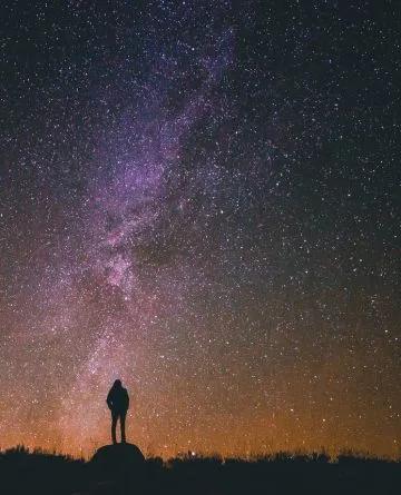
Immerse yourself in the majesty of the universe like never before.
Municipalities of La Palma
The island is divided into 14 municipalities:
- West side: Garafía, Tijarafe, Puntagorda, Tazacorte, Los Llanos de Aridane, El Paso, Fuencaliente.
- East side: Barlovento, San Andrés y Sauces, Puntallana, Santa Cruz de La Palma, Breña Alta, Breña Baja, Mazo.
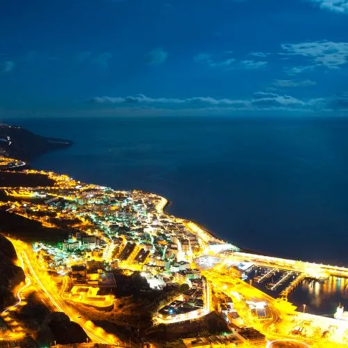
📍 Capital: Santa Cruz de La Palma (~15,300 inhabitants)
📍 Most populated city: Los Llanos de Aridane (~20,500 inhabitants)
At 2,426 meters tall, the Roque de los Muchachos is La Palma’s highest peak. Remarkably, La Palma is the world’s third-highest island relative to its area and altitude above sea level, surpassed only by Pico in the Azores and Fogo in Cape Verde.