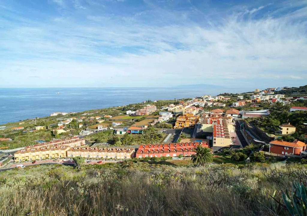
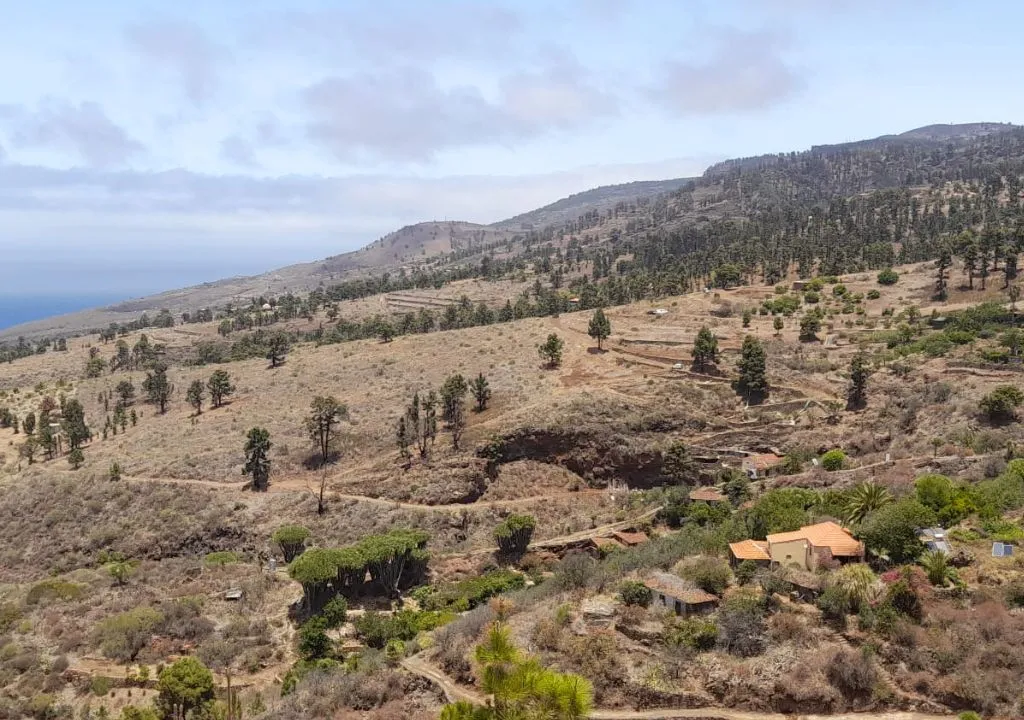
Tucked away in the northwest of La Palma, Garafía is a secret corner of the island where time slows down. This remote, rural, and deeply authentic municipality offers a life lived among cliffs, forests, ancient trails, and clear skies. Every step connects you with nature, aboriginal history, and the simple rhythm of mountain villages. From the heights of Roque de los Muchachos to the wild coastline near Santo Domingo, Garafía invites travelers to experience a different way of exploring: slower, more human, and more real.
Practical Information about Garafía
| Element | Detail |
|---|---|
| Average Altitude | Between 400 and 2,426 m |
| Population | ~1,800 inhabitants |
| Area | 103.76 km² |
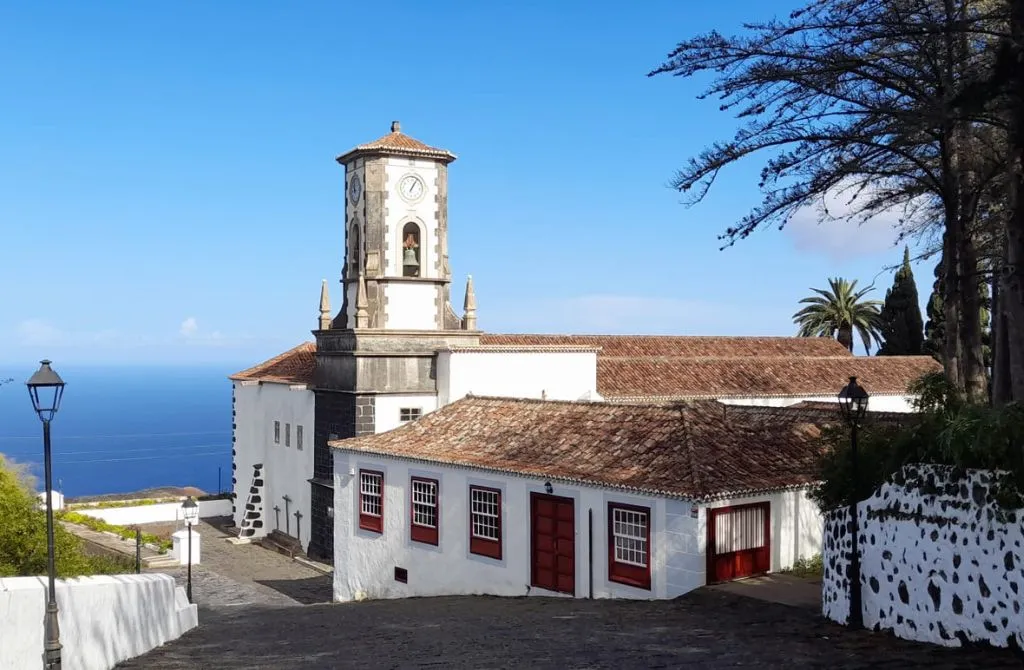
| Municipal Capital | Santo Domingo |
| Main districts | Franceses, Don Pedro, Llano Negro, El Castillo, Cueva del Agua |
| Local economy | Agriculture, livestock, DOP cheese |
| Tourism | Rural tourism, hiking, stargazing |
| Natural sites | La Zarza and La Zarcita Cultural Park, Hiscaguán Coast Natural Monument, Roque de los Muchachos |
Why Visit Garafía?
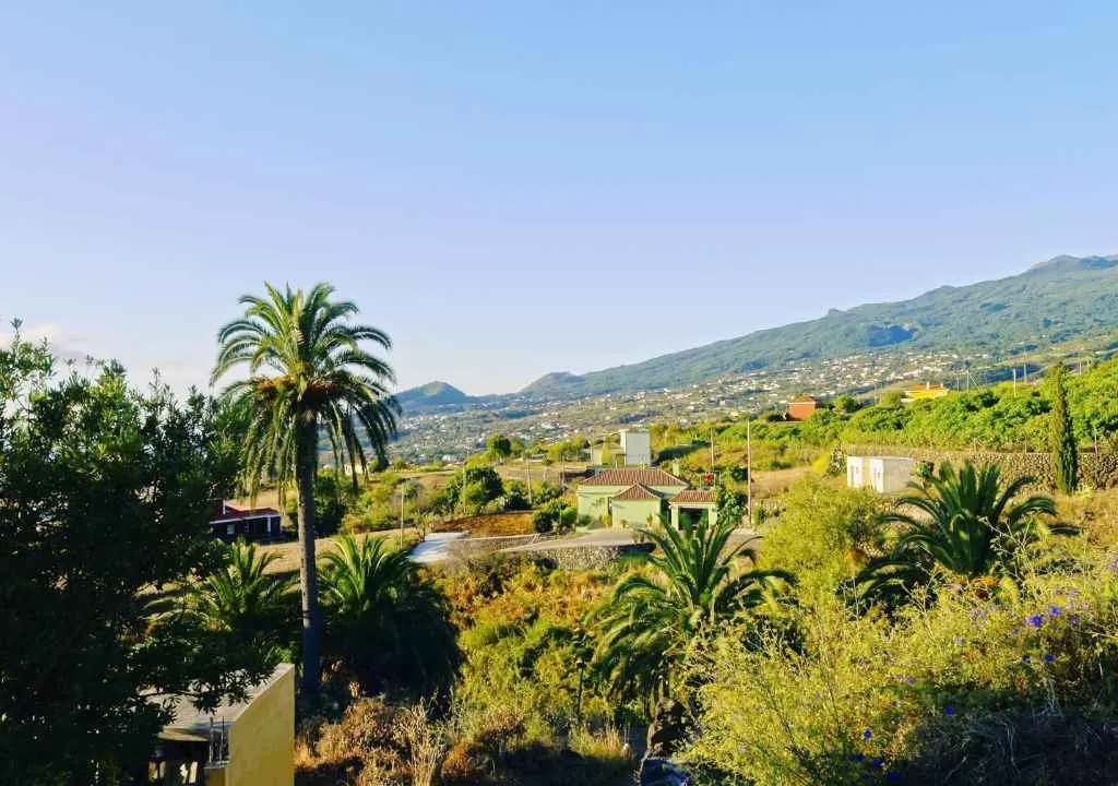
Because it’s one of the few places in the Canary Islands where nature and authenticity remain untouched. Garafía is not a stopover; it’s a refuge for the soul.
Its 14 small villages are scattered across ravines, mountains, and wild coastline, inviting you to slow down, walk quietly, and uncover stories carved in stone and sky. Perfect for travelers who want to disconnect from the world and reconnect with the land.
Camera Provided by Apalmet.es
Things to See and Do in Garafía
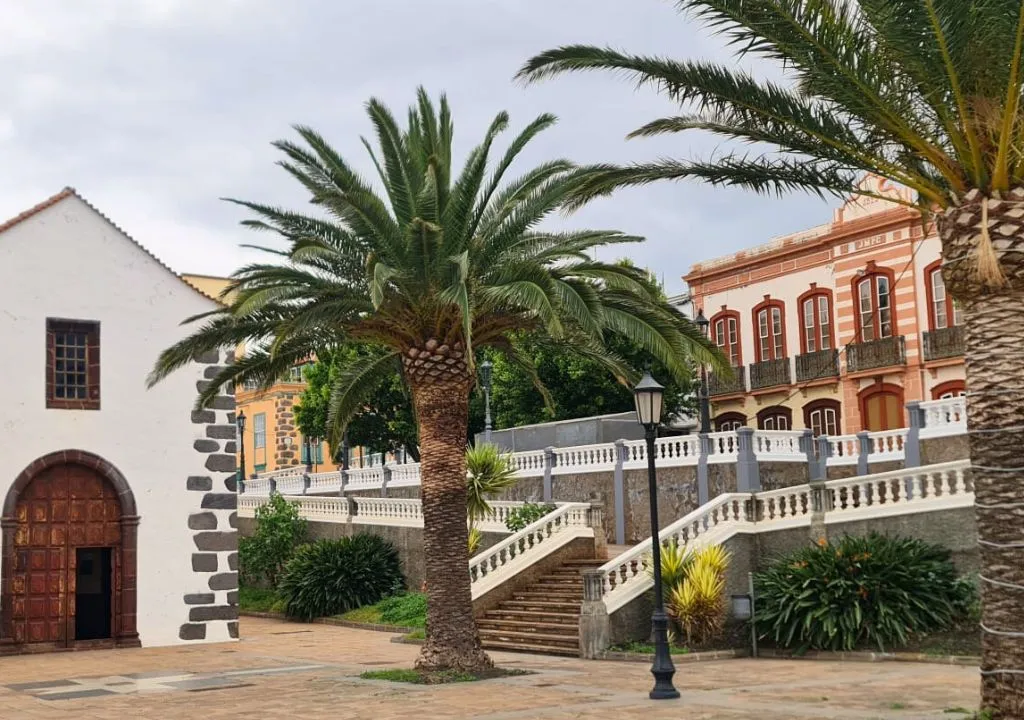
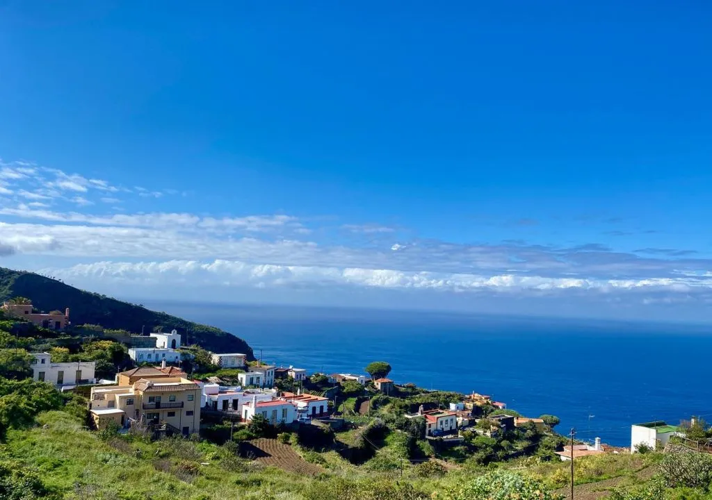
- Santo Domingo
The peaceful municipal capital, perched at 400 meters above sea level. Expect calm streets, ocean views, and an authentic rural atmosphere. - Roque de los Muchachos
The highest point on La Palma at 2,426 meters. A sacred place for stargazers and home to the observatories of the Canary Islands Astrophysics Institute. Ideal for hiking and astronomical observation. - Buracas Dragon Trees Trail
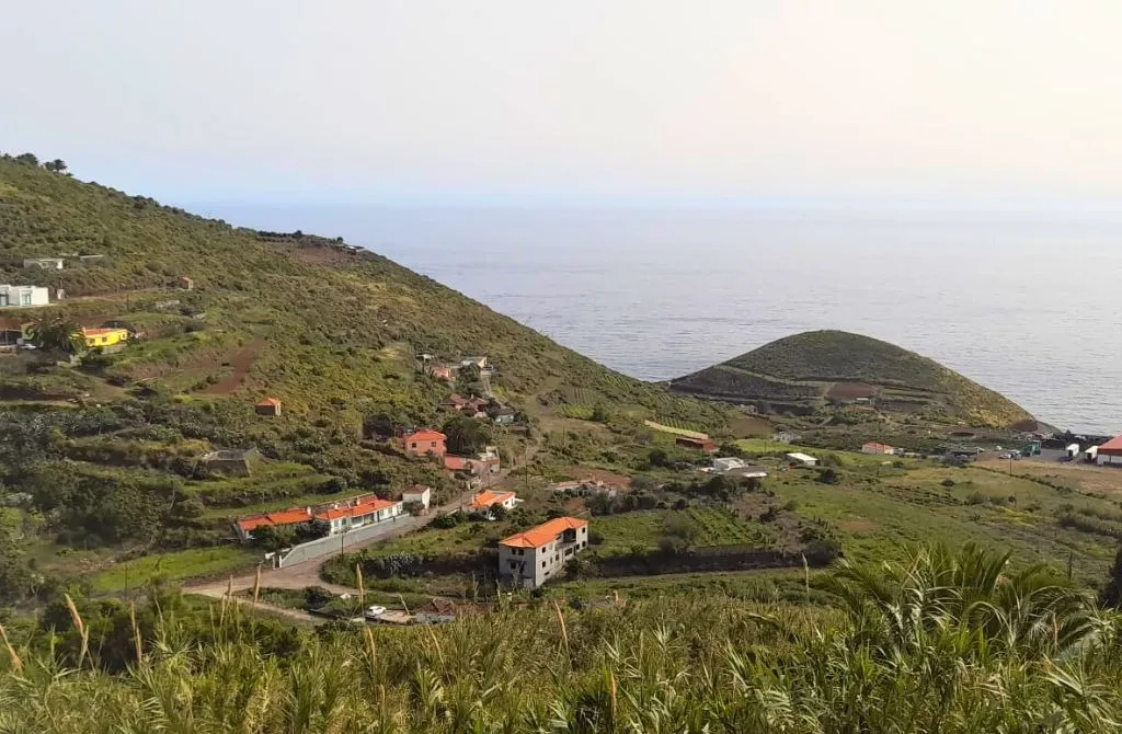
One of Garafía’s most iconic walks, featuring an impressive cluster of endemic dragon trees. The trail passes cave houses, terraced farms, and sweeping ocean views. - La Fajana de los Franceses & El Tablado
A hidden corner at the base of a 300 m cliff. A fertile coastal patchwork of banana trees, fruit orchards, and crashing waves. Accessed by forest track. - La Zarza and La Zarcita Archaeological Park
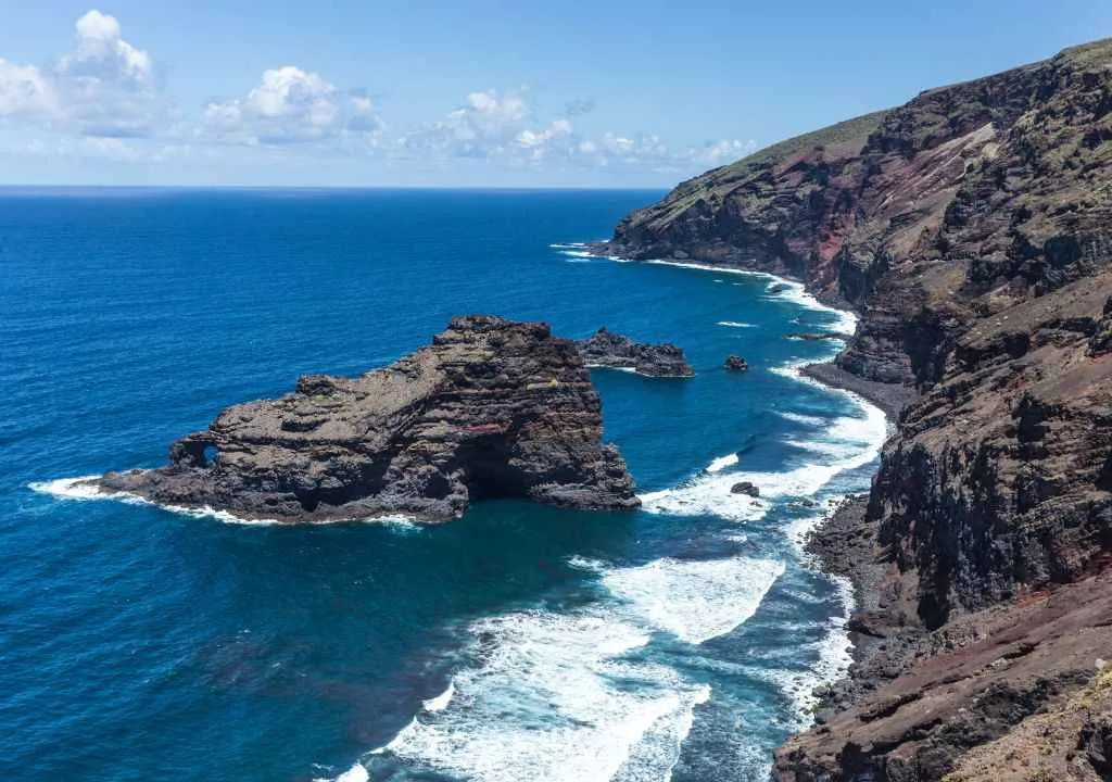
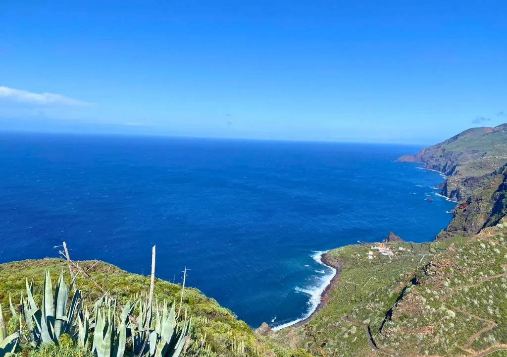
Home to the largest concentration of aboriginal petroglyphs on the island. Surrounded by lush laurel forest, this site is key to understanding the island’s ancient heritage. - Garafía Port Viewpoint
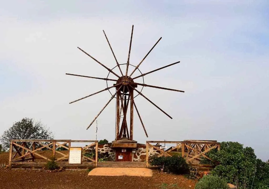
Located in the Hiscaguán Coast Natural Monument, this lookout offers a dramatic view of the rugged coastline with Roque de Santo Domingo in the foreground. - Windmills of El Palmar
Standing testaments to Garafía’s agricultural history. These traditional mills paint a living postcard of the island’s hard-working past. - Gofio Museum (Llano Negro)
A small museum showcasing the production of gofio, the Canary Islands’ traditional roasted grain flour. A tasty insight into the region’s food culture. - San Antonio del Monte Recreation Park
A green space perfect for family picnics, complete with tables, barbecue areas, and hiking trails.
YOUR EXPERIENCE SHINES HERE
If you’ve visited this place, share your impressions and leave a small trace of your journey. Help other travelers discover the true beauty of La Palma.
*Your review is completely anonymous
Festivals and Traditions
Garafía’s festivals are celebrated with the same authenticity that defines the rest of the municipality. The most notable is the San Antonio del Monte Festival in June—one of the Canary Islands’ top livestock fairs, with markets, local products, and animal shows. Each village also hosts its own fiestas, like those in Don Pedro, Franceses, or Cueva del Agua, all of which maintain the rural identity and close-knit spirit that make Garafía special.

Hiking in Garafía: Nature, Silence, and Stars
- El Tablado – Santo Domingo
Distance: 13.6 km · Difficulty: High
Part of the GR-130 route, this is one of the island’s most authentic hikes, with ancient paths, isolated rural homes, traditional farmland, and stunning sea views. Highlights include Juan Adalid’s iconic cactus forest and the dramatic La Luz ravine. →Wild North Coast Hiking Route
- Roque de los Muchachos – Pico de La Nieve
Distance: 13 km · Difficulty: Moderate
A high-altitude trail skirting the rim of the Caldera de Taburiente. On one side, infinite Atlantic views; on the other, sheer volcanic cliffs. Available as a self-guided route or group excursion, ideal for those interested in astronomy and geology. - La Zarza – Don Pedro – La Zarza (circular)
Distance: 11 km · Difficulty: Moderate
A spectacular mix of petroglyphs, laurel forest, and deep ravines. Starting from the archaeological park, the trail winds through dense vegetation down to Don Pedro, offering a journey into one of La Palma’s oldest landscapes.
Practical Tips for Visiting Garafía
- Car is essential: Public transport is limited and villages are widely scattered.
- Stay rural: No hotels here. Choose a rural house or holiday home for a real experience.
- Eat local: Don’t miss the DOP goat cheese or the region’s signature goat stew.
- Stargazing heaven: Spend a night in the upper zones and enjoy the unmatched night sky from one of the viewpoints.
- Pack warm: Garafía is the coldest municipality on the island. Even in summer, you’ll need a jacket for cool evenings.
- Support small producers: Buy traditional cheese directly from the source or visit local family-run wineries producing renowned red wine.
- Coastal caution: Accessing coastal areas like El Castillo or Fajana de los Franceses can be difficult. Roads are narrow, steep, and winding, only attempt them if you’re confident behind the wheel.
- Ideal for slow travel: Garafía is perfect for unplugging, enjoying rural views, hiking ancient trails, and discovering a different, crowd-free La Palma.