
” La Palma isn’t visited, it’s walked through.“
Its trails are not mere paths; they are open doors to volcanoes, ancient forests, deep ravines and breathtaking viewpoints.
Here, every route tells a story, every landscape connects you with the raw power of the earth.
Hiking in La Palma is more than a sport, it’s breathing in nature, embracing silence and being carried away by the wild beauty of the island.
Top Hiking Trails in La Palma


Why go hiking in La Palma?
- Spectacular scenery: volcanoes, forests, cliffs and wild coastlines.
- Well-marked and maintained trails.
- Mild weather all year round.
- No crowds: peaceful, quiet routes.
- Unique biodiversity, geology and cultural richness.
Types of Trails
La Palma’s official hiking network is classified by colour:
| Trail Type | Colour Marking | Average Duration |
|---|---|---|
| GR (Long Distance) | 🔴 Red | Several days |
| PR (Short Distance) | 🟡 Yellow | 1 day |
| SL (Local Trail) | 🟢 Green | Less than 10 km |
Before You Start: Essentials
- Check current trail conditions on the official website
- Look out for weather alerts (rain, wind, heat)
- Wear good hiking shoes, carry water, a hat and sunscreen
- Download the route or use a GPS app
Easy Hiking Routes in La Palma
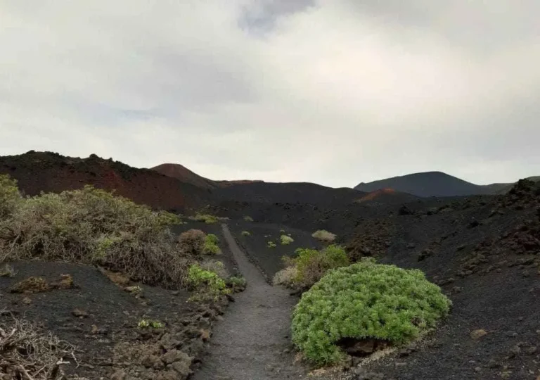
Teneguia Trail
Starts near the San Antonio Visitor Centre and runs past Teneguía Volcano to the salt flats. A spectacular volcanic landscape in the south.
Distance: 7.26 km
Elevation gain/loss: 407 m

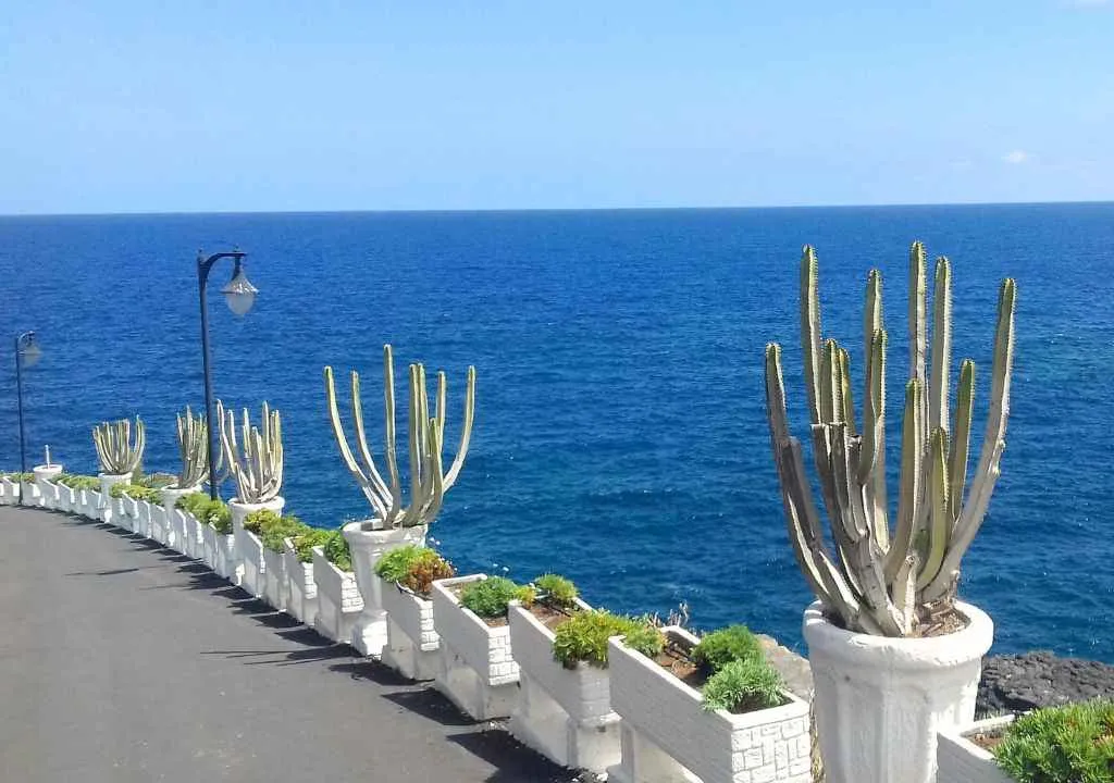
San Andrés to Charco Azul Coastal Walk:
A lovely seaside walk with views of the ocean and an old lime kiln. Connects the natural pools of Charco Azul with the town of San Andrés.
Distance: 1.6 km
Elevation gain: 37 m
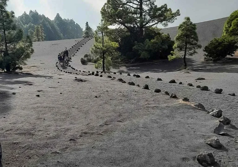
Hike to the Hidden Cone on La Palma:
The Encounter with a Hidden Cone trail is perfect for families looking for a short and easy walk in the heart of nature. The route starts in the El Pilar recreational area and combines the freshness of the laurel forest with the tall pine woods filled with the intense scent of resin. The gentle ascent to the hidden volcanic cone is especially exciting for children and offers beautiful views, sometimes even over an unforgettable sea of clouds.
Distance: 3 km
Elevation gain: 96 m
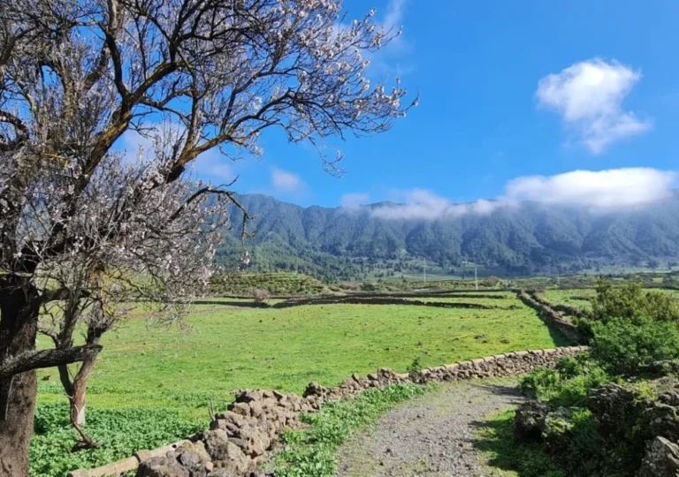
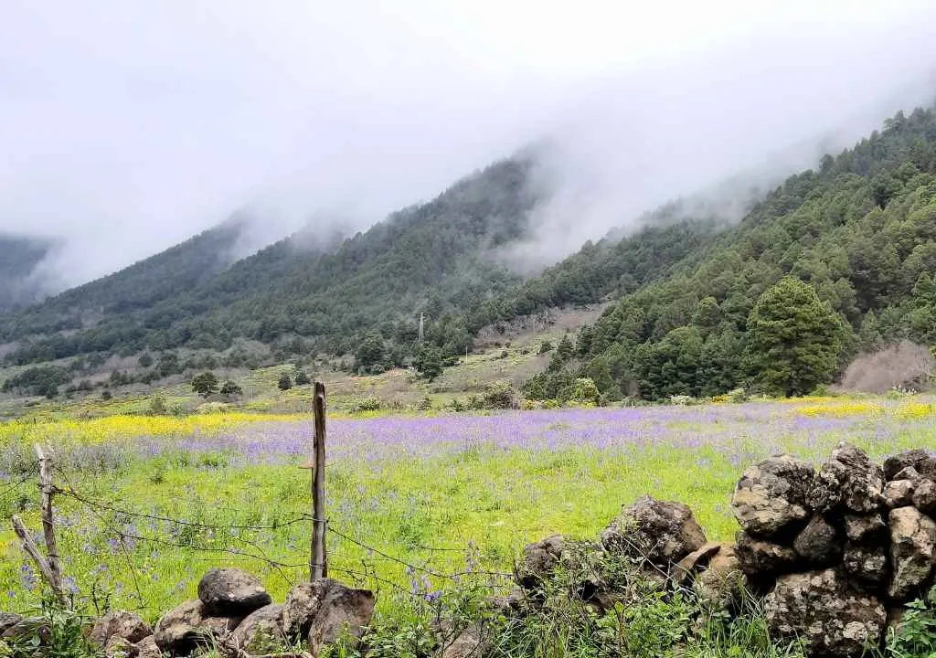
El Llano de Las Cuevas Trail:
A quiet path behind the Caldera Visitor Centre, perfect for spotting stone pyramids, almond trees and animals. Beautiful in spring bloom.
Distance: 4.6 km
Elevation gain: Nearly level
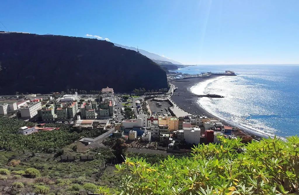
El Time Trail:
A scenic downhill trail overlooking the Aridane Valley and the Tazacorte coastline.
Distance: 3.03 km
Elevation loss: 480 m
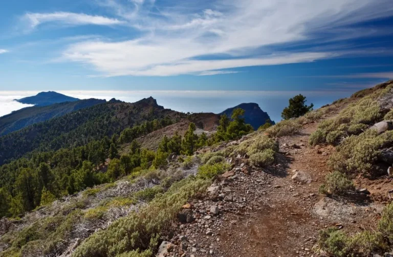
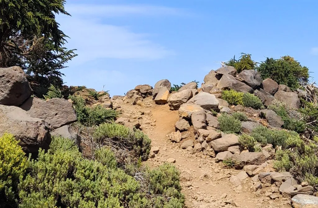
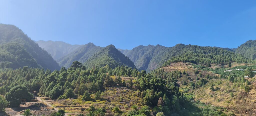
Pico de La Nieve Trail
Starting from the parking area along the main road to Roque de los Muchachos, this trail takes you through a forest of Canary Island pines and offers stunning views of Mount Teide, the coastline, and Santa Cruz de La Palma. From the summit, you can admire the Caldera de Taburiente, Pico Bejenado, and the Barranco de las Angustias.
Distance: 4.66 km
Elevation gain/loss: 350 m
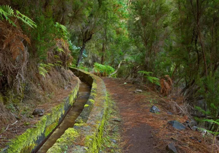
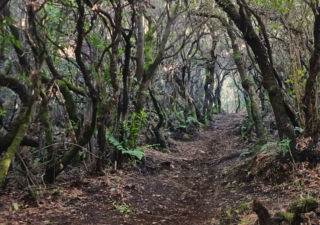
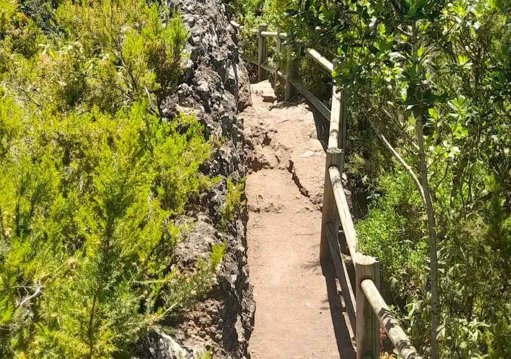
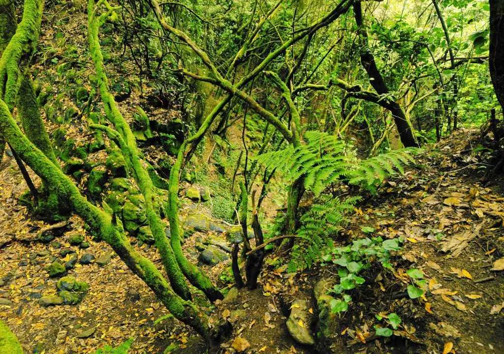
Los Tilos Forest to the Lookout Point:
This trail leads to a unique viewpoint perched atop a volcanic rock, offering breathtaking views of the majestic laurel forest.
Distance: 5.74 km
Elevation gain/loss: 853 m
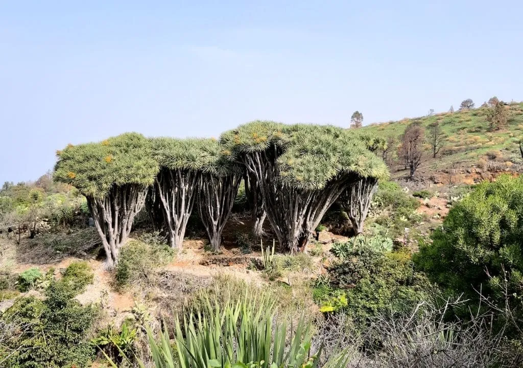
Buracas Trail
This trail takes you through the stunning northern landscape of La Palma, passing by its iconic dragon trees and colorful flowers in Garafía, before reaching caves with ancient petroglyphs. It is especially recommended during the winter and spring months. It’s best to avoid the middle of the day as there is little shade along the path. The only challenging part is the slightly steep incline on the way back.
Distance: 4.68 km
Elevation gain/loss: 305 m
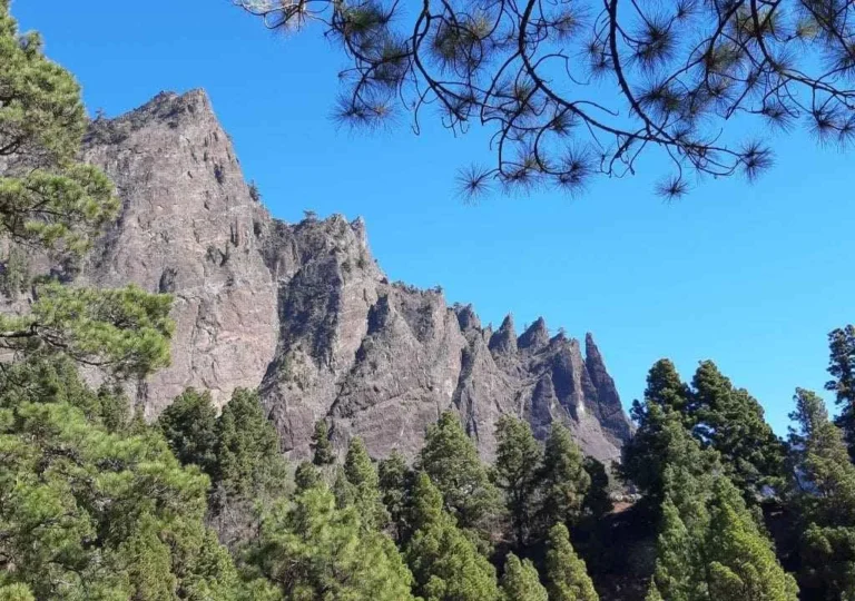
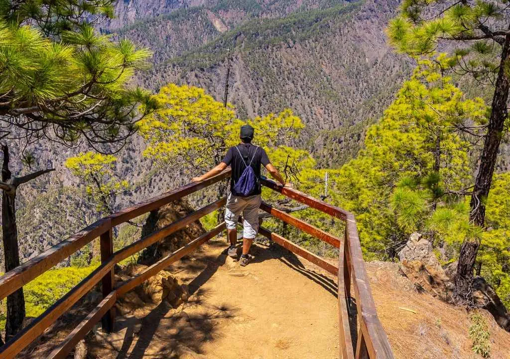
Lomo de las Chozas Trail:
This 3 km circular route starts at the Mirador de La Cumbrecita and takes you to one of the best viewpoints of the Caldera de Taburiente. Depending on the time of day, it may be necessary to reserve parking in advance to access the Mirador de La Cumbrecita. The trail offers unforgettable views of the pine forest and the Caldera de Taburiente.
Distance: 2.98 km
Elevation gain/loss: 168 m
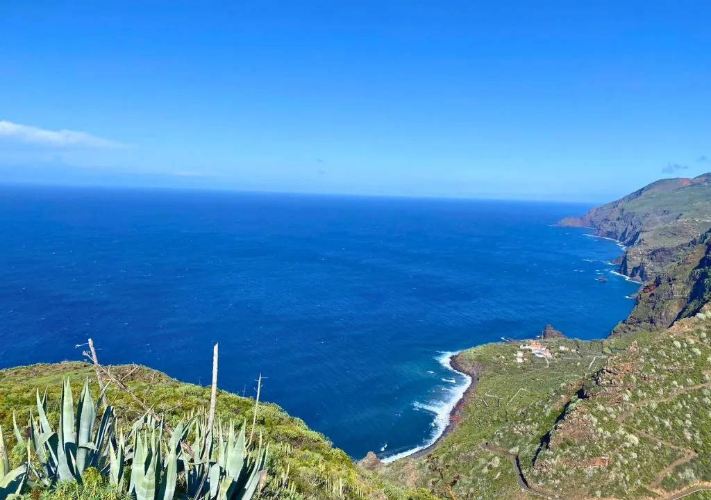
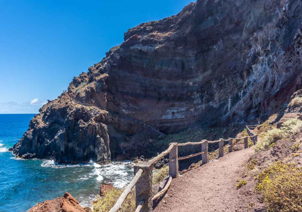
Access to Playa de Nogales:
From the parking area, the path descends to one of the most beautiful natural attractions on the “isla bonita”: Nogales Beach in Puntallana. The trail winds down along the cliffside and is mostly a staircase. As you approach the beach, you can spot a volcanic tube. This panoramic walk offers spectacular and mystical views.
Distance: 1.53 km
Elevation gain/loss: 60 m
Cubo de La Galga:
This area offers more hiking routes, including an especially easy one that is perfect for families with children.
When is the best time to go hiking in La Palma?
Thanks to the island’s mild and varied climate, hiking is possible all year round, but:
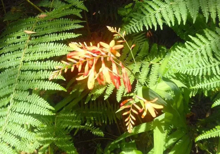
- Spring: the greenest and most floral season, ideal for photography.
- Winter: cool but not cold, great for European travelers.
- Summer: long sunny days, though it’s best to avoid the midday heat.
- Autumn: changing landscapes and fewer tourists.
Who is hiking in La Palma for?
La Palma is perfect for all kinds of walkers:
- Beginners looking for short, easy trails.
- Experienced hikers in search of volcanic and mountain adventures.
- Families thanks to safe, accessible paths.
- Photographers and nature lovers drawn by the island’s incredible landscapes and dramatic views.
